

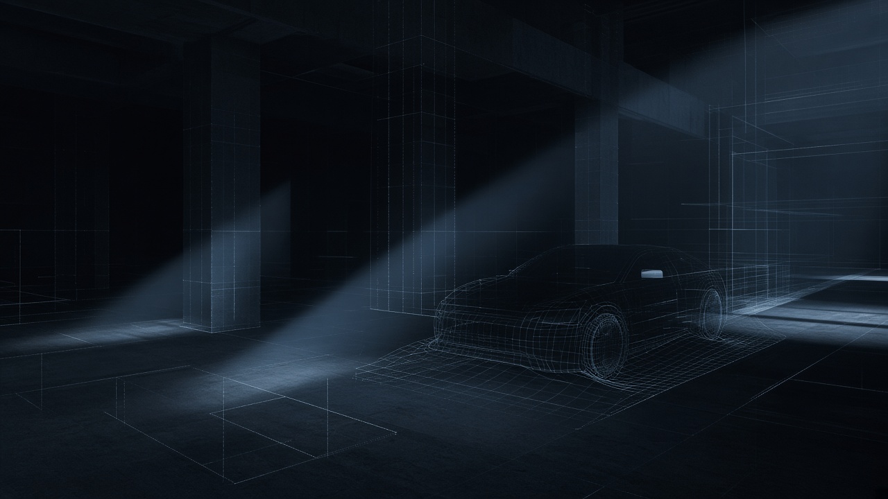
01 — Perception & autonomy
See, locate, act
Object detection, 3-D localization, scene understanding, GPS-denied navigation, and autonomous systems that have to decide without a perfect map.
Rhode Island · United States
OSAT turns research-grade machine intelligence into systems that can be fielded — for U.S. industry and government partners who cannot afford theater.
Why we exist
We are a consulting firm with a product spine. Clients hire us to take methods from computer vision, geospatial sensing, and network science and make them work in the environments that actually matter — austere, real-time, and unforgiving of false confidence.
Practices
We do not sell a buffet of buzzwords. We run three practices, each with a named problem and a way of working.
Object detection, 3-D localization, scene understanding, GPS-denied navigation, and autonomous systems that have to decide without a perfect map.
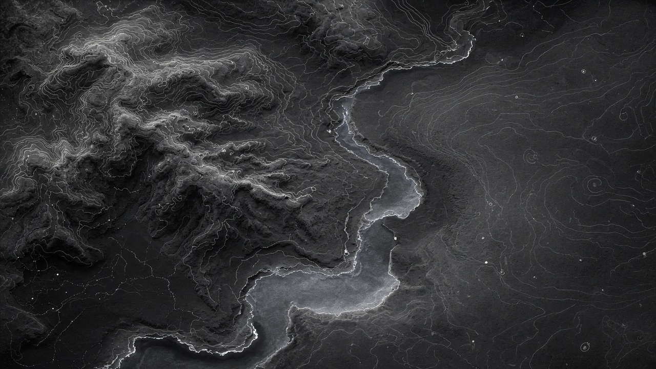
Remote sensing and large-scale geospatial analytics — turning spectral, radar, and location data into something an operator can use.
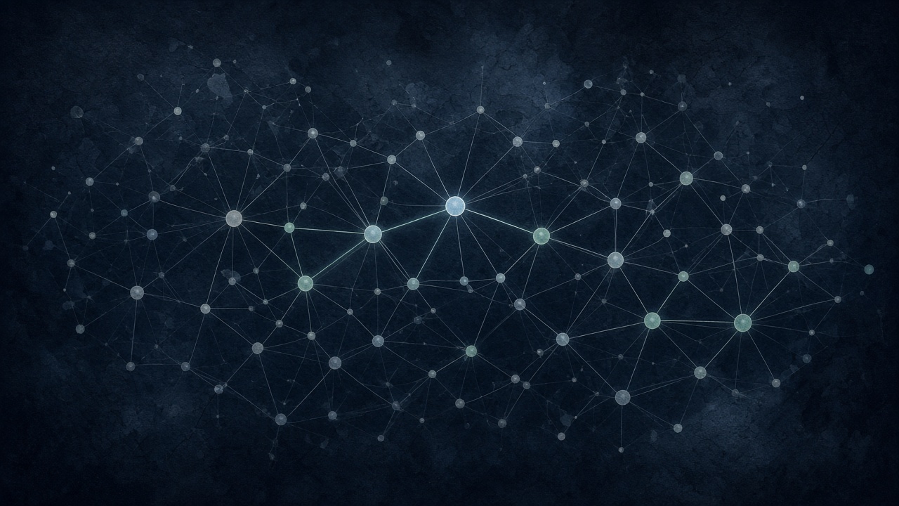
Network science, graph methods, and advanced analytics for problems that are relational — logistics, influence, and multi-actor systems.
Flagship product
Standard detectors find one intact object. CIPHER finds a threat that has been broken into parts — or split across people and time.
Contraband Interdiction Platform for Hazardous Element Recognition. Built for screening environments where the interesting thing is never the obvious thing.

Engagement
Operators, data you actually have, and the decision that has to get better. A written problem statement and a go / no-go in weeks, not quarters.
A model, a fusion layer, or a decision aid — scoped to the mission and instrumented so you can see where it fails.
Integration, review in the loop, and a path to sustainment. If it cannot be used, it is not finished.